The British Army (Royal Engineers) maintain an extensive GEOINT and survey capability, centred on the fine folks at 42 Engineer Regiment (Geographic). 41 Regiment is a hybrid Regular and Reserve unit based at RAF Wyton in Cambridgeshire. There is much more to geographic intelligence than just printing maps, but this is a short post about just that.
There will always be a need for printed maps, until that time electronic paper has unlimited battery life and can be folded multiple times, can be annotated with a weight of next to nothing.
The equipment below came from a project called the Future Deployable Geospatial Intelligence (FDG) Project, itself part of an older and wider programme called PICASSO that included Lockheed Martin UK, KNK, Marshall Specialist Vehicles, Polaris Consulting, Safety Assurance Services and SciSYS.
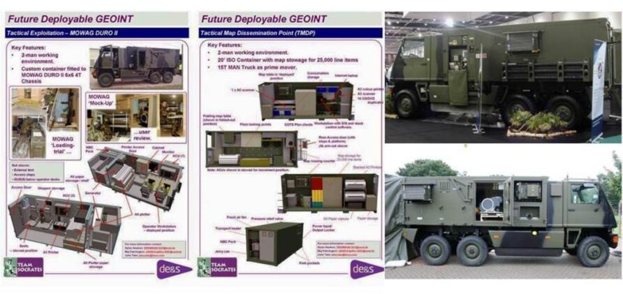
FDG provided a data-centric, geospatial intelligence (GEOINT) management, discovery, dissemination, and exploitation capability that addressed the deployable requirements of the Intelligence Collection Group (ICG), including the provision of mobile and manoeuvrable working environments at the tactical level.
FDG essentially consolidated several UORs such as the DATAMAN servers introduced during Op HERRICK and improved capabilities across the board. It allowed subject-matter experts to maintain over 350 individual geo-referenced layers such as CIED, medical, imagery, patrol tracks and route characteristics. Dataman was based on ESRI software that used Dell servers housed in ruggedised cases, weighing approximately 300 kg.
Data Man Light reduced the weight by using Helix GIS Servers based on Getac X500 rugged laptops. The front end used a web-based tool called GeoViewer that looks like the now very familiar Google Maps. Layers can be switched on and off and are available based on the user’s profile. Where communications networks are constrained or intermittent, cached data can be used, and a contract award to iOra enhanced this important aspect.
FDG achieved FOC in 2013 and has been in use since.
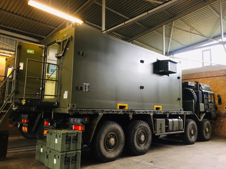
The project delivered two deployable systems for generating and disseminating maps. The Tactical Information and Geospatial Analysis System (TIGAS) included 11 Mowag Duro II 6×6 vehicles that provide a two-person tactical exploitation environment, Forward Map Distribution Point (FMDP) and three 20ft (ca. 6 m) ISO container size shelters used to house two-person tactical map distribution points (TMDP).
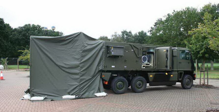
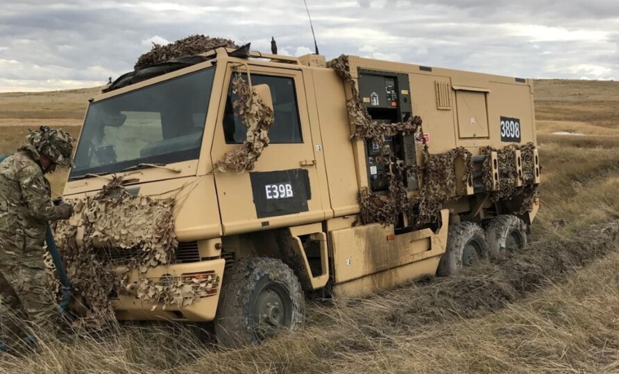
A follow-up contract provisioned additional shelters.
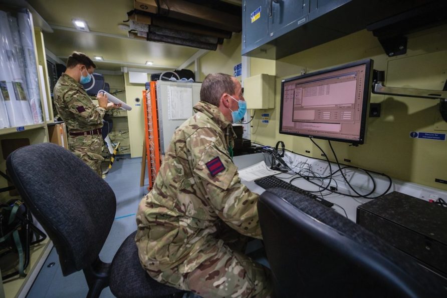
Images below are of the Tactical Map Dissemination Point.
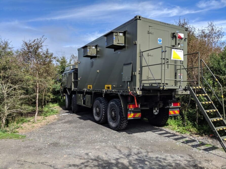
And inside
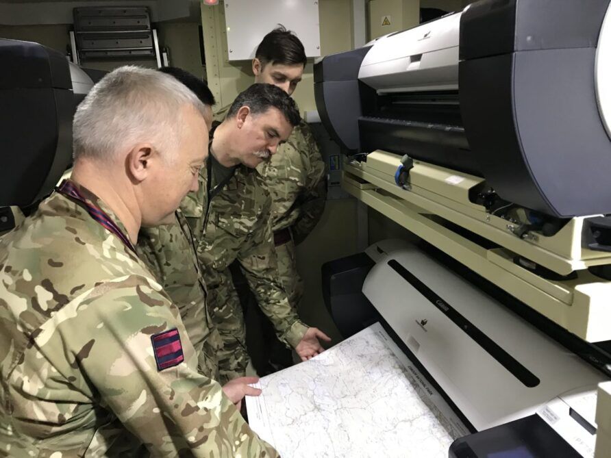
There is also a light role capability, mostly Land Rover-based.
Read more (affiliate link)

Discover more from Think Defence
Subscribe to get the latest posts sent to your email.


Printing maps for military use involves a meticulous process to ensure accuracy, reliability, and efficiency in the field. Military maps, often referred to as tactical maps, undergo rigorous scrutiny and adhere to specific standards to support various operations and missions.
The process typically begins with compiling geospatial data from various sources, including satellite imagery, aerial photography, and ground surveys. This data is carefully processed and integrated using geographic information systems (GIS) software to create detailed digital maps tailored to the specific requirements of military units.
Once the digital maps are finalized, they undergo thorough quality control checks to verify accuracy and completeness. This involves scrutinizing features such as terrain elevation, hydrology, vegetation cover, and infrastructure to ensure that the maps provide a comprehensive understanding of the operational environment.
After passing quality control, the digital maps are formatted for printing, taking into account factors such as scale, resolution, and map symbology. Military maps often include additional information such as grid coordinates, military symbols, elevation contours, and tactical overlays to support navigation, planning, and decision-making in the field.
Printing military maps typically involves specialized equipment capable of producing high-resolution, durable prints suitable for use in challenging environments. These prints may be produced in various formats, including paper maps, laminated maps, and digital map displays compatible with military devices and systems.
Overall, the process of printing maps for military use is a crucial component of operational readiness, providing troops with essential spatial information to navigate terrain, coordinate movements, and achieve mission objectives effectively and safely.